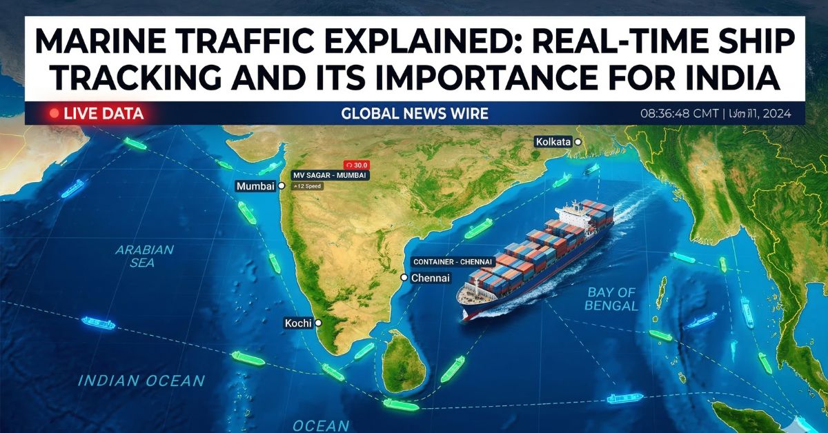
The oceans carry most of the world’s trade, and tracking ships has become more important than ever. Today, tools like MarineTraffic allow people to see the movement of ships in near real time across the globe. This technology is widely used by shipping companies, governments, logistics firms, and even the general public to monitor maritime activity.
In recent years, marine traffic tracking has also become important for security, trade monitoring, and maritime safety, especially for countries with long coastlines like India. This article explains what MarineTraffic is, how marine traffic tracking works, and why it matters for India and global shipping.
What Is MarineTraffic?
MarineTraffic is an online platform that tracks ships and maritime activity worldwide. It provides real-time information about vessels, including their location, route, speed, and destination.
The service collects data from thousands of Automatic Identification System (AIS) receivers placed along coastlines and satellites. Ships equipped with AIS transmit their identity and position, allowing the system to display them on a global map.
Users can search for specific ships, check port activity, or follow shipping routes across oceans. The platform was launched in 2007 as an academic project and later became one of the most widely used maritime intelligence services.
Today, millions of users—including shipping companies, maritime professionals, and researchers—use it to monitor vessel movements.
How Marine Traffic Tracking Works
Marine traffic tracking mainly relies on AIS technology. Ships transmit signals containing important data such as:
- Vessel name and identification number
- Current position and direction
- Speed and navigation status
- Destination and estimated arrival time
These signals are picked up by land-based receivers and satellites. The data is then processed and displayed on platforms like MarineTraffic in near real time.
More than 300,000 vessels report their positions daily, allowing users to track major shipping routes and port activity around the world.
Check out more: Israel Iran War Condition
Why Marine Traffic Monitoring Is Important
Tracking marine traffic is essential for several reasons.
Maritime Safety
Monitoring ship movements helps reduce the risk of collisions and improves navigation safety in busy waterways.
Trade and Logistics
Most global trade moves by sea. Real-time tracking allows shipping companies and logistics providers to monitor cargo and estimate delivery times.
Environmental Protection
Authorities can track ships near sensitive marine areas to prevent illegal fishing or pollution.
Security and Surveillance
Marine traffic data helps detect suspicious activity, smuggling, or unauthorized vessel movements.
Marine Traffic and India’s Maritime Security
India has a coastline of over 7,500 kilometers, making maritime monitoring critical for national security and trade.
After the 2008 Mumbai attacks, India strengthened its maritime surveillance systems. One major initiative is the Integrated Coastal Surveillance System (ICSS), which monitors vessel movement across the Indian coastline using radar, AIS, and other sensors.
India also operates the Information Management and Analysis Centre (IMAC) in Gurugram, which gathers maritime data to track commercial shipping and monitor potential threats.
Public platforms like MarineTraffic can complement these systems by providing open-source information about ship movements worldwide.
Recent Global News Related to Marine Traffic
Marine traffic data has also become important for journalists and analysts during international conflicts.
For example, recent reports showed that some ships near the Strait of Hormuz changed their identification signals to appear linked to China in an attempt to reduce the risk of attacks during regional tensions. Analysts discovered this by examining MarineTraffic ship tracking data.
This shows how maritime tracking tools can reveal unusual patterns in global shipping.
Who Uses Marine Traffic Data?
Marine traffic tracking platforms are used by many groups, including:
- Shipping and logistics companies
- Port authorities
- Coast guards and naval agencies
- Maritime researchers
- Journalists and investigators
- Shipping enthusiasts
Some users track vessels carrying cargo or vehicles, while others analyze global trade routes.
What the Future of Marine Traffic Monitoring Looks Like
Marine traffic monitoring is becoming more advanced with new technologies.
Satellite tracking, artificial intelligence, and big data analytics are helping authorities detect unusual ship movements, illegal fishing, and smuggling networks. Governments and private companies are also integrating radar systems, satellite images, and AIS data for more accurate maritime awareness.
For countries like India, stronger marine monitoring will help improve coastal security, trade efficiency, and disaster response in the coming years.
FAQs
What is MarineTraffic used for?
MarineTraffic is used to track ships in real time. It shows vessel locations, routes, speed, and port activity worldwide.
Is MarineTraffic free to use?
Yes, the basic version is free for public users. However, advanced features like satellite tracking and detailed analytics require a paid subscription.
How accurate is MarineTraffic tracking?
The system is generally accurate because it uses AIS signals from ships and satellite data. However, accuracy may vary in remote ocean areas.
Can anyone track ships online?
Yes. Anyone can track ships using websites and mobile apps that display marine traffic data.
Why is marine traffic tracking important for India?
It helps monitor coastal activity, improve maritime security, manage shipping traffic, and protect trade routes.